Kyrgyzstan is a landlocked republic in Central Asia, located on the west of the People’s Republic of China. The country covers an area less than a seventh of the size of Mongolia, at 199,951 square kilometres. Kyrgyzstan is among the smallest of the Central Asian states and republics. The Kyrgyzstan national territory extends about 900 kilometres from eastwards to westwards and 410 kilometres northwards to southwards.
Area and boundaries of the country
Area :
total area of the country : 198,951 km²
landlocked area : 191,801 km²
waterlocked area : 8,150 km²
Land Boundaries:
Total length : 5,473 km
Border countries around Kyrgyzstan: The People’s Republic of China that covers 1,063 km, Kazakhstan covering 1,212 km, Uzbekistan along 1,314 km and Tajikistan covering 984 km.
Kyrgyzstan Coastline : 0 km (landlocked)
Maritime claims : none (since landlocked)
Elevation extremes : The lowest point of the country : Kara-Darya 132 m above sea level. The highest point of the country : Peak Jengish Chokusu 7,439 m above sea level.
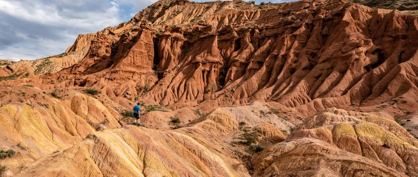
Common terrain : Peaks of Tien Shan and associated valleys and basins comprise the entire nation of Kyrgyzstan.
Available Natural Resources :
- abundant hydropower
- petroleum
- significant deposits of gold and rare earth metals
- locally exploitable coal, and natural gas
- other deposits of nepheline, mercury, bismuth, lead, and zinc
Land Use :
- permanent pasture : 48.3%
- permanent crops : 0.4%
- arable land : 6.7%
- forest : 5.1%
- other : 93.24% (2011)
Kyrgyzstan has the world’s largest natural growth walnut forest.
Arslanbob, located in the Jalal-Abad region has an immense diversity of various biogenetic features. Most of the world’s walnut varieties are derived from the original species that are still found here.
Irrigation covered land : 10,210 km² (2005)
Total renewable water resources : 23.62 km3
Average Elevation
Kyrgyzstan’s average elevation is 2,750 meters above sea level, ranging from 7,439 meters above sea level at Peak Jengish Chokusu to 394 meters above sea level in the Fergana Valley near Osh. Also, almost 90% of the country lies at an elevation of 1,500 meters above sea level.
The Republic of Kyrgyzstan is geographically bordered on the east and southeast by the Chinese provinces, on the north by Kazakh people, on the west by the Uzbeks and on the south by Tajikistan. However, the borders with Tajikistan and Uzbekistan consolidating the Ferghana valley are rather difficult.
The geographical terrains of Kyrgyzstan are dominated by the Tian Shan and Pamir mountain ranges. The mountain ranges together occupy about 65% of the national land territory. The Alay mountain peaks of the Tian Shan range dominates the southwestern curve of the country. Towards the east, the main Tian Shan range runs parallelly along with the boundary between southern Kyrgyzstan and China prior to its extension into the east into China’s Xinjiang Uygur Autonomous Region.